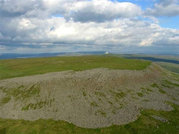
Today we have used ‘Google Maps’ to track the start of the River Tees from the top of ‘Cross Fell’ to the coastline where the river joins the sea. The pupils enjoyed watching new streams join the river and were fascinated with the curving path which the river took on its journey. We looked at the flood defences near the coastline and talked about what they do.
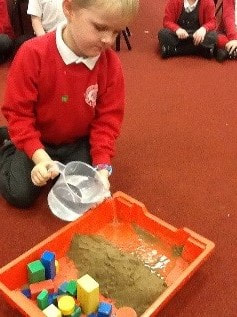
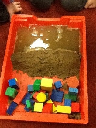
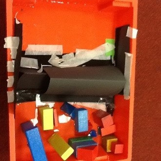
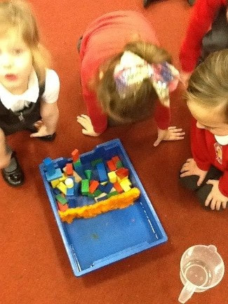
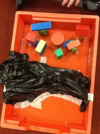
Challenge – Can you create your own flood defences?
The children worked in groups to use different materials to create their own flood defences. They made predictions about whether they thought their material would be a good material or not. They talked confidently about it needing to be waterproof to stop the water from getting through but also learnt the new language of water tight.


